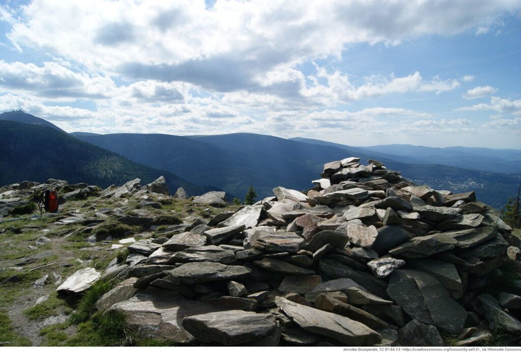
Skalny Table (1281 m above sea level) is the highest peak of Kowarski Grzbiet, located on the Polish-Czech border in the Karkonosze Mountains. It takes its name - Rock Table - from its flat peak made of rocks. From the top there is a beautiful panorama of the Karkonosze Mountains, the Kaczawskie Mountains and the Jeleniogórska Valley or Rudawy Janowickie. For these views, it is worth to overcome quite a demanding route.
Peak Rock Table it belongs to the eastern cover of the Karkonosze granite and is built of metamorphic rocks, such as gneisses and shales, to which it owes its characteristic appearance. On the northern slope of Kowarski Grzbiet, on which they pile up Rock Table, there is the former settlement of Budniki, for which tourists often choose a slightly more difficult trail from Kowary. The unique settlement, once established at an altitude of about 850 m above sea level, became a shelter for local residents during the Thirty Years' War.
Rock Table - information for tourists
Down of the Rock Table there are many routes to get there, so you need to think carefully about which route to choose. The yellow trail starts in Kowary, at the railway station. The road to the top should take about 3.5 hours, but it is worth planning a break in the now non-existent mountain settlement of Budniki, which is a good vantage point for the Karkonosze and the surrounding area. The black trail leading from Karpacz is a beautiful route, on the way of which there are such attractions as, for example Raven Rocks. The trail starts from the Biały Jar car park and runs along the Płomnica River, up to the Sowia Pass, from which you should go straight to the top - Rock Table.
It is also worth considering the route from Kowary, heading to the Okraj Pass with the PTTK hostel located there. In this way, when returning from the top to the city, you can choose a different route - the one leading through Budniki. That of the Rock Table you can continue along the trail towards Śnieżka - however, it is a trip for another 3 hours. The route leading to the top can be more demanding in some places due to the rapid differences in elevation.
