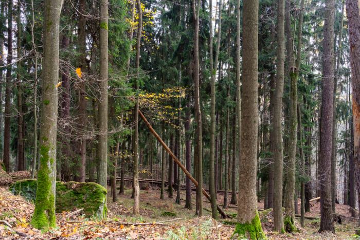
The Stołowe Mountains National Park is a unique protected ecosystem that captivates with its rocky landscapes. The park was established in 1993 in the Central Sudetes on the border with the Czech Republic. It was founded out of concern for the ecosystem and the unique rock formations found in these areas. It covers an area of approx. 63 km, which is intersected by the spectacular Highway of One Hundred Turns, which is the main axis of the park.
Table Mountains National Park it is a must-see on the map of every nature lover. When visiting the Stołowe Mountains, it is worth climbing the highest peak - Szczeliniec Wielki, where the so-called rock city. When reaching the top, it is worth visiting the PTTK "na Szczeliniec" shelter, from which there is a wonderful view of the Czech side of the mountains.
In the massif of the next peak - Skalniak, there are unique Errant Rocks - which are a natural rock labyrinth and a must-see on the map Stołowe Mountains National Park. The Rocks of the Eagle Owl, Skalne Grzyby, Radkowskie Skały and Łężyckie Rocks, reminiscent of the savanna landscape, are also worth seeing.
Table Mountains National Park - information for tourists
Admission to the National Park is payable and amounts to PLN 12 for a normal ticket and PLN 6 for a reduced ticket. Children under 7 and holders of the Big Family Card will enter the park for free. An additional fee is paid to enter the park - PLN 30 for a passenger car and PLN 50 for a bus. those traveling by motorcycle will pay PLN 15. For those interested in rock climbing - the annual cost is PLN 50, and a one-time permit costs PLN 20.
The Stołowe Mountains are worth traversing on one of the many trails crossing the area Table Mountains National Park. The most impressive Polish-Czech bicycle route - the Stołowe Mountains route - marked in blue, leads outside the park, and its length is approx. 65 km. An interesting proposition is the Szczeliniec Route - marked in green - with a length of approx. 24 km, which runs entirely through the area of the National Park. Its beginning can be found in Karłów, then it runs, among others, through Skalne Mushrooms and loops again in Karłów. Being in the area, you can also climb the nearby peak - Szczeliniec Wielki.
A good suggestion for a walking route is the green trail, running through Kudowa Zdrój, through Błędne Skały and Skały Puchacz to Batory. All trails running through the park can be found on its official website: https://www.pngs.com.pl/.
